Trust in the Leader of Collaborative Process Design and Facilitation
TOOL T-12 | Status Tracker | Module 3: Coordination & Alignment
Land & Permit Status Dashboard
WHEN TO USE Active throughout development and construction; updated at every change in land or permit status.
How to Use It
1. Create and maintain a dashboard in a shared format accessible to all relevant actors.
2. For each parcel or operational area, record: land acquisition status, outstanding payments or agreements, permit status, and authorized activity types.
3. Update every time a status changes in real time, not on a scheduled cycle.
4. Set a clear rule: no activity begins in any area unless it shows as fully cleared in the dashboard.
5. Make the dashboard accessible to contractor supervisors, not just developer staff.
6. If any actor questions the dashboard status, pause and verify before proceeding.
Purpose
To provide a single shared reference for the current status of land acquisition, permit clearances, and authorized work areas, accessible to developers, LGUs, ComRel officers, and contractor supervisors. Work should not begin in any area until this dashboard shows it as cleared and authorized.
Field Rationale
Clearing began in areas where land acquisition was not fully completed. Contractors mobilized before key permits had been confirmed. In both cases, the coordination failure resulted from different actors having different understandings of what had been authorized.
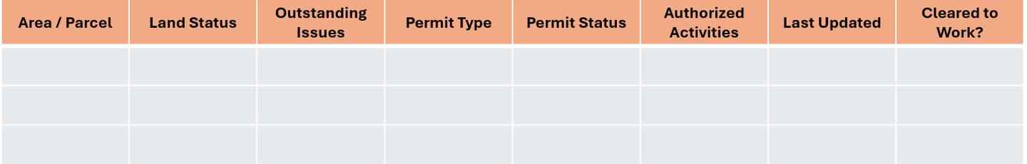
Fillable Template: Land & Permit Status Log
Guidance Notes
! Field Note — The dashboard is only useful if updated in real time. A status dashboard that reflects the situation two weeks ago is not a coordination tool, it is a liability. Assign a specific person responsible for updates and set a clear protocol for what triggers an update.
Adaptation Guidance
In areas with complex or disputed land tenure, add a 'Contested Status' column with details of the dispute. Do not clear an area for work if its land status is contested.
This website shared to the public for free courtesy of the
THE CONFLICT RESOLUTION GROUP FOUNDATION, INC.
www.coregroup.org.ph * info@coregroup.org.ph
through our SustainABILITIES Lab Project
All rights reserved. The Conflict Resolution Group Foundation 2026.
© Pixelhaze 2024. A Hostinger Website Builder Template by Pixelhaze Studio